
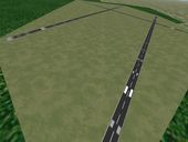
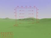
Approach to KLAX showing new concrete runway textures.
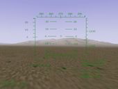
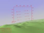
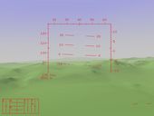
Precision runway markings at KMSP (Minneapolis, MN)
Our initial approach to drawing runway lines is to split the runway up into sections and apply the proper texture to that section. This way a huge variety of runways can be constructed with a relatively "few" number of textures.
|
Approach to KLAX showing new concrete runway textures. |
Precision runway markings at KMSP (Minneapolis, MN) |
 Cloud layers and cloud texture experiment. |
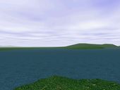
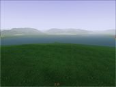
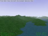
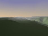
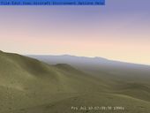
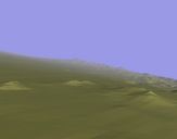
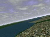 View from the southern side of Seattle looking to the north-west across Puget Sound with the Olympic Mountains in the distance. |
 Looking down at Wizard Island in the center of Crater Lake through a thin layer of clouds. |
 Simple cloud example. |
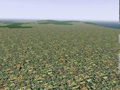
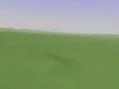
Most recently, I have added "urban" areas.
 A nice shot of a snow capped Mt. Rainier in Washington state. |
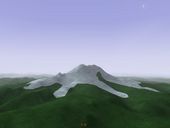
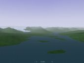
 A view of Crater Lake taken from the north-east. |
 South Lake Tahoe. |
 Provo, Utah as viewed from across the lake. |
 Urban area and Ocean a bit south of KLAX. |
 juneau |
 Looking past Juneau towards the lake and Glacier. |
 Looking down runway 04 of E81 (Superior, AZ.) |
 Ranger Creek ... not all airports are created equal. |
 Lopez Island in Puget Sound (Washington.) This shot is looking towards the west and you can see the sun setting. |
 Lopez Island looking towards the north. You can see a runway on Blakely Island just to the north of Lopez Island. |
 San Jan Island in Puget Sound. On final to what I believe is Friday Harbor. |
 A shot from a bit south of Prince William Sound, AK. |
 And another image from the same area... |
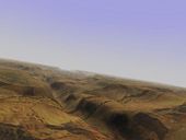
 A detailed high altitude view of the Grand Canyon. |
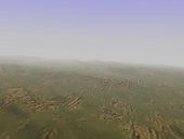
 A hazy day at the Canyon. |
 Sunrise at the Grand Canyon. |
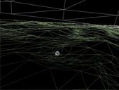 A wire frame image showing an example of how the terrain is tesselated. If you look closely you can see that polygon size is quite variable. Terrain areas of greater complexity require a finer mesh to maintain a preset level of accuracy. Also note, the moon is hiding below the surface, but is exposed because of the wireframe rendering. |
 A view of AZ38 which is on the rim of the Grand Canyon. |
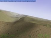
 A view from the top of a mountain south west of KSAD (Safford, AZ.) |
 A view from the ground near KTUS (Tucson, AZ.) |
 Texturing experiment. Eric Mitchell is the designer of the initial textures used for testing. |
 Here's one of the Grand Canyon with a rock face texture. I know this looks funny, but I was just experimenting here. |
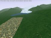
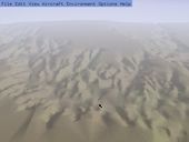
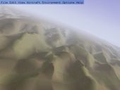
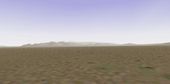
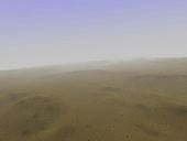 A more reasonable high altitude desert scene. |
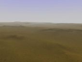 And another. |
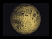 Full textured moon - Durk Talsma has done some excellent work texturing the moon. This snapshot was taken by William Riley. |
 Moon on 15 Aug 1999 showing the correct phase, placement, and orientation in the sky. |
 Textured moon - Here's another image that shows the moon at a different phase. |
 A nice evening shot of the Big Dipper. |
 Another evening shot showing the Southern sky. |
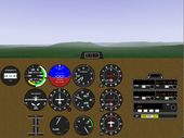 New instrument panel work by David Megginson. |
 HUD Example - Michele America and Charlie Hotchkiss have been putting a lot of work into creating a flexible, configurable HUD. This image shows the current state of the HUD and was taken from KSAD (Safford, AZ.) |
 Zoom - Here I get out the old 300mm zoom lens and hold it really steady ... can you see those big horn sheep? |
 HUD Example - An older image. |
 Another older HUD shot. |
 And another. |
 And another showing a bit more terrain. |
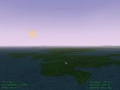
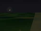
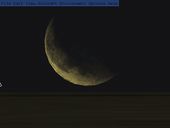
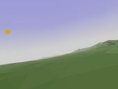
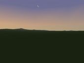 A nice pre-sunrise moon crescent. In any sim you'd just expect the moon to be in the corrent place in the sky with the correct phase ... right? |
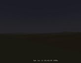
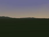 Early Dusk. The sun has just set, but the sky is still glowing. Stars aren't quite out yet. |
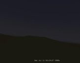
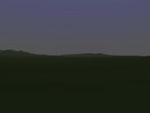 Later Dusk. The sun has set and the stars are beginning to appear, but the sky is still not completely dark. |
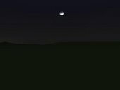 Night (with the Moon.) Here is an example of the moon in the right place in the sky with the correct phase. |
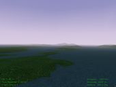
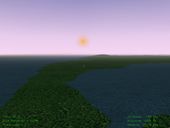
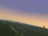
 Haze at the horizon - This images demonstrates my first attempt at making a nice sky that transitions into haze at the horizons. It should be mostly straight forward to make a particlar side of the sky brighter or add a pink glow on one side to make nice sunsets and sunrises. |
 A nice sunset - This images demonstrates the pinkish orange glow in the sky that builds as the sun gets lower in the sky. If you could only pan around (and you can if you are running the binary) you would see that the pink fades and the sky gets darker as you look towards the other side of the sky. OpenGL is really, really cool. :-) |
 Sunset over the Grand Canyon. |
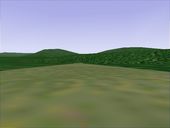
 Here's an example of smooth shading.Surface normals are specified on a per-vertex basis, and OpenGL interpolates shading across the triangle for a nice smooth effect. Notice the mountain in the distance that is barely visible through the nice smooth haze. :-) |
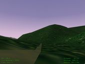
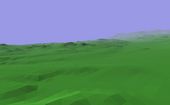
 Another example. If you look closely, you'll notice that this image has some display artifacts at the horizon ... eventually these will get cleaned up. |
irregular1.gif irregular2.gif
 A very detailed regular grid of the mesa-e area. Current versions of FG use an irregularly gridded terrain. Irregular grids should be able to achieve the same detail level with 4-6x fewer polygons. |
 Another very detailed regular grid. |
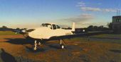 A photo of a real Navion taken at a local airport. |